A Handful of Photos from Corsica

It has been an eventful year, most notably, becoming a father! ❤️

This blog post, however, features photos from Corsica, from a summer vacation back in August 2017.

Current, Δt: 5 years, 4 months, 27 days, 16 hours, 7 minutes, 40 seconds
Corsica #01
Corsica #02
Corsica #03

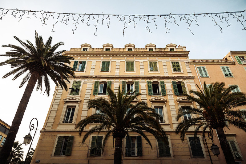
We flew down to Ajaccio via Nice with Air Corsica. I still remember having to supply my full credit card details in an email to pay for a change of flights. Oh GDPR, where were you?! 😂

But apart from that, I had no other complaints… or wait a minute… After having boarded the plane, we could see the ground vehicle coming towards us with all the bags stacked. Mine, a large blue backpack, fell off the first car and then all the subsequent cars drove over it. Nice, pun intended.

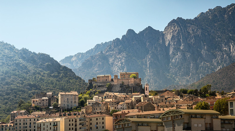
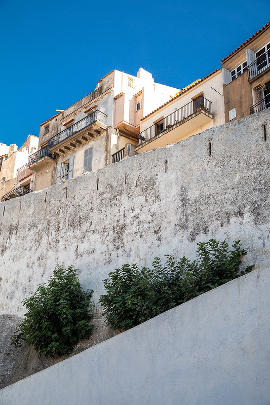
Ajaccio! Beautiful city (except for all the damn cars in the inner city)! It is maybe best known as the birthplace of Napoleon (1769). Idk. We stayed in the hotel situated in the middle of the following image:

Corsica #04
Corsica #05
Corsica #06
Corsica #07

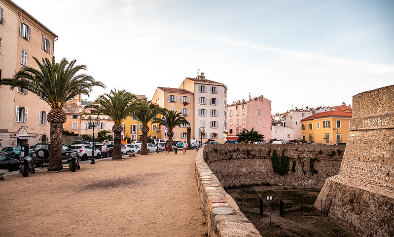
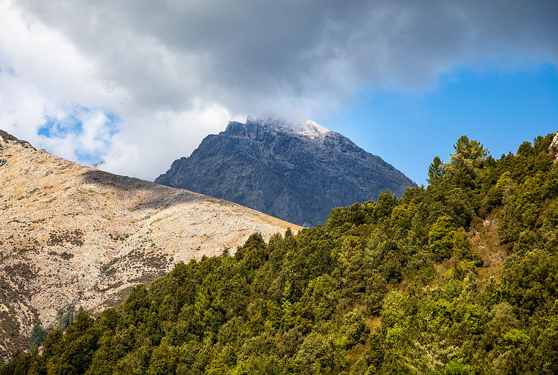
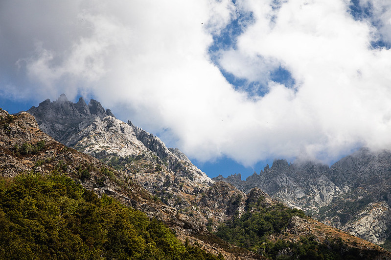
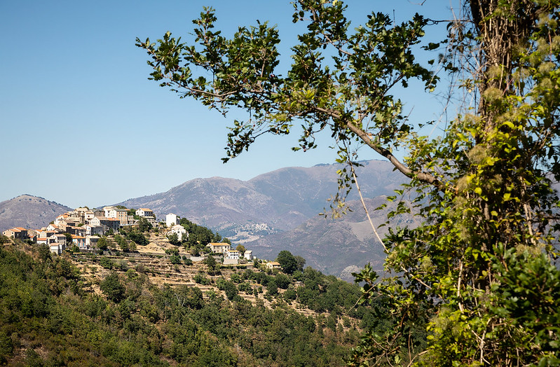
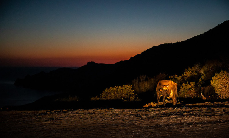
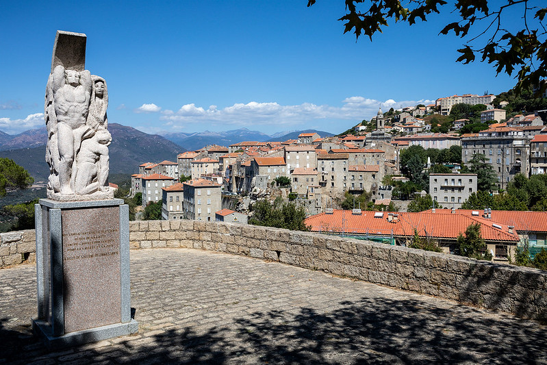
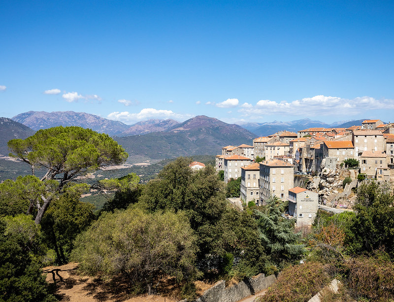
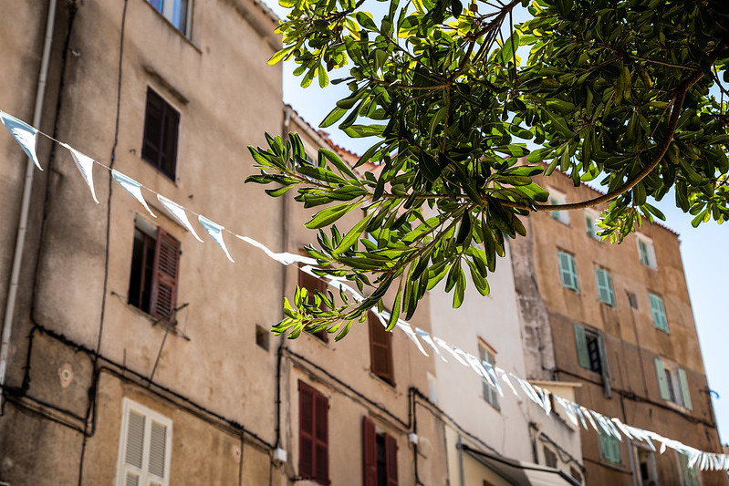
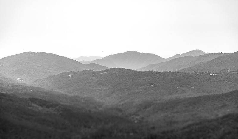
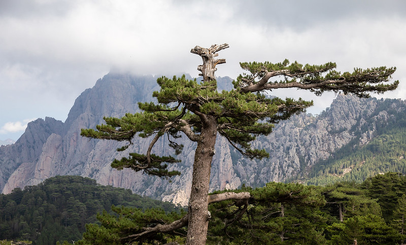
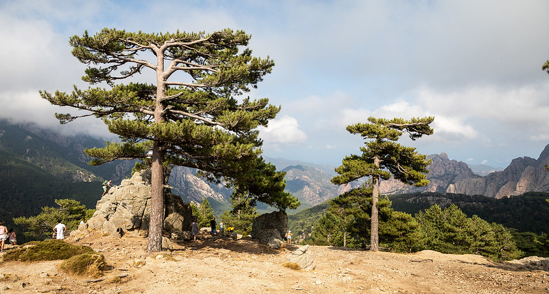
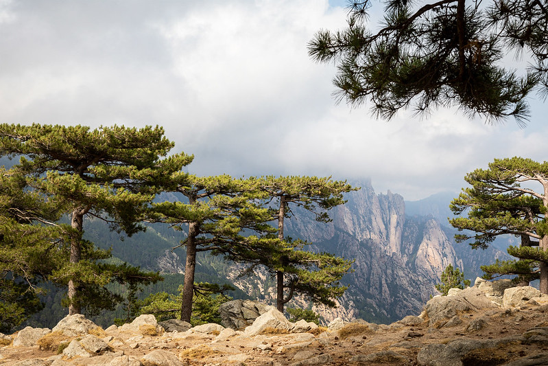
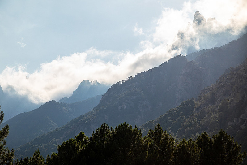
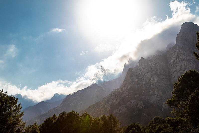
The island, which is the 4. largest in the Mediterranean sea, has a rugged coastline, and mountainous interior (thanks ChatGBT!). Awesome! And photogenic! It also features many intriguing towns with narrow, twisty roads to explore.
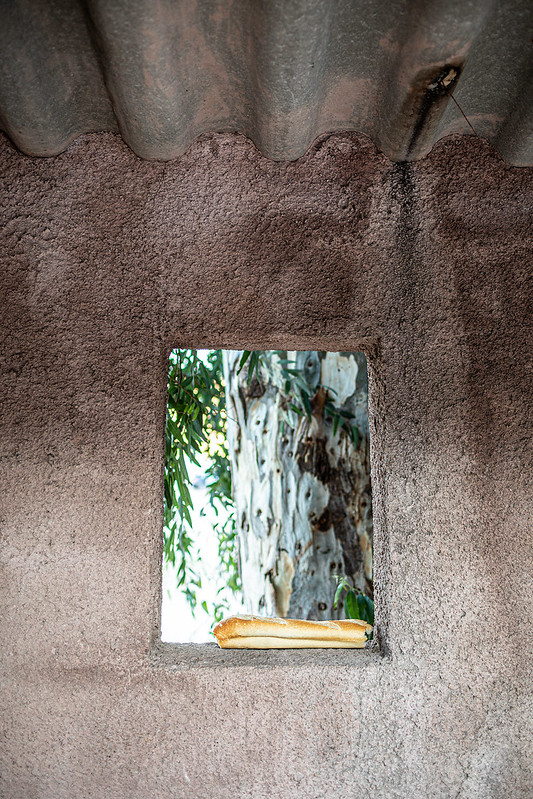
Corsica #08
Corsica #09
Corsica #10
Corsica #11
Corsica #12
Corsica #13
Corsica #14

Baguette 😏

Corsica #15
Corsica #16
Corsica #17

After staying in Ajaccio for a few days, we left for Porto-Vecchio, which in Norwegian sounds like a spell to make something disappear! Anyway, Bonifacio, the city furthest south, is a spectacular attraction that we had to visit. The same idea had approx. 1 million other tourists that very day. Clever thinking.

Corsica #18
Corsica #19
Corsica #20
Corsica #21

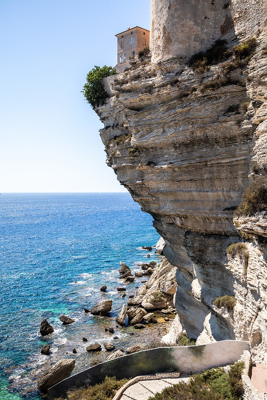
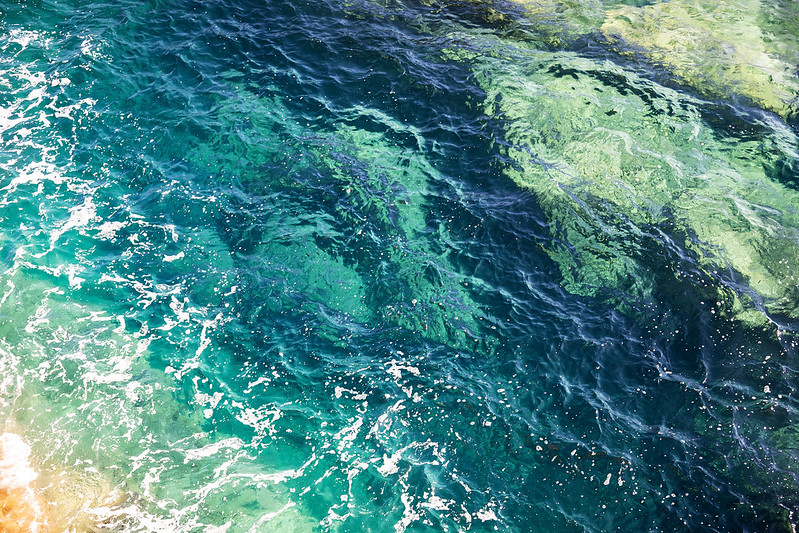
It sure looks like something straight out of Game of Thrones! 🤩

Corsica #22
Corsica #23
Corsica #25

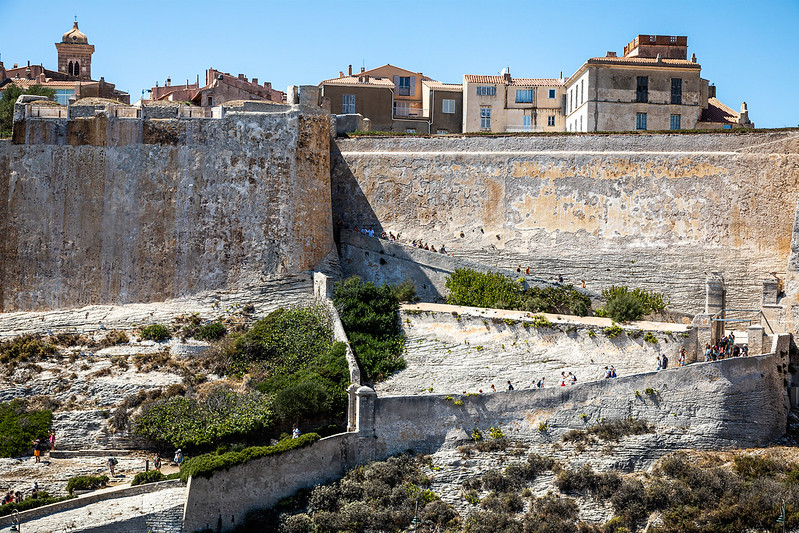
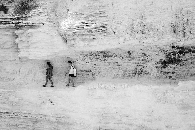
In Bonifacio, the famous “Escalier du Roy”, or the “Staircase of the King”, is a series of steep, narrow steps that lead up to the citadel. The stairs were built in the 14th century and were originally used as a defensive structure.

These two tourists passed the “go no further” sign and thought, “heeeeeya, let’s continue”…

Corsica #26
Corsica #27
Corsica #28
Corsica #29
Corsica #30
Corsica #31

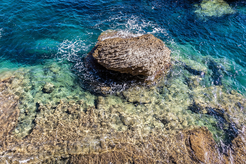
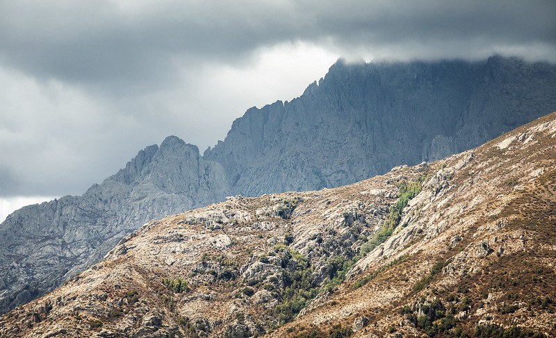
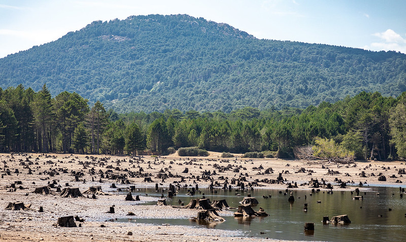
On our way back to Ajaccio to catch our plane, we did some further sightseeing of the island and even found a secret river full of locals that had escaped tourist hell for a cold swim. We also got another shot of “epic mountains” 🤤

Corsica #32
Corsica #33
Corsica #34
Corsica #35
Corsica #36
Corsica #37
Corsica #38
Corsica #39
Corsica #40
Corsica #41

Cheerio 2017, and hey there 2023! 🎆

Me, just now

2 Shades of Blue // Besseggen

First off, some quick facts about Besseggen

Besseggen lies east in Jotunheimen, between the lakes Gjende and Bessvatnet. The walk over Besseggen is one of the most popular mountain hikes in Norway. About 30,000 people walk this trip each year.

Wikipedia ( https://en.wikipedia.org/wiki/Besseggen)

July is drawing to a close, and we are driving from Oslo in a borrowed van that returning readers might recognize, yes, it is my father’s 250-year-old white Caddy. But that won’t make an appearance this time. It is time for some norgesporno!

A perhaps, not so great example of “norgesporno”.

TL;DR, we made it! Even got proof:

Now back to the beginning. After Beitostølen, you drive across Bygdin (?) before reaching Gjendesheim; a “DNT turisthytte”. Here, a view from the road:

From Gjendesheim you have a magical view over the water (Gjende). We arrived late in the afternoon, but way before sunset. As most Norwegians know; our summer evenings are blessed with exceptionally long hours of sunlight!

Before dinner this day, the owner (or caretaker) was really pushing some expensive wine. Wtf. I still remember this 4 years later when writing this post 😅

Early the next morning we got on board the ferry taking us to Memurubu. The best route over Besseggen is to go “backward”, i.e. up the narrow ridge. The trail then ends up right where you started (Gjendesheim).

The first part of the trail more or less goes straight up. The first really nice view you get is this one:

After a couple of hours walking, we got some quite hefty cloud formations; this one, combined with the sun, drawing a straight line through the landscape:

Here you can see the ridge just left of the water and Knutshøe to the right (another great hike!). This is a wonderful place to eat a few of those brødskiver you put in your matpakke.

Knutshøe, (1517 m), worthy of being displayed both with and without colors.

Then! The ridge itself! Squeezed between Gjende (left) and Bessvatnet (right) you have to climb on all four – at least parts of the way. It is a truly great experience! (Which explains why this is my third time here…)

The view just keeps getting better as you get higher, as do the colors of the two lakes, deep blue – and greenish milky-matte. The last one gets its tint because of glacier runoff. On a more sunny day, the green tone is even clearer than on the picture below:

Over the top Veslfjellet – and across Bandet, the clouds were returning. In a brief moment I captured the effect a “hole in the sky” had on the mountains:

The road can also be quite photogenic!

Here is a photo from my phone from the decent – which is much longer than you think the first time you walk here. The very nice steps here have been put in place by Sherpas a few years back, to stop the erosion and slow “destruction” from the significant number of hikers each year.

Another photo, or screenshot at least – from my phone, is this one, that tells the story of what number of footsteps Besseggen may demand of you! Start early!

…and to round things off, here are some sheep in a landscape, taken during our trip back to Oslo.

Edit: Got some old photos (2001) from my mom & dad 😍

Impeccable style!